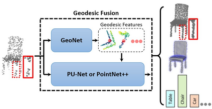
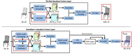
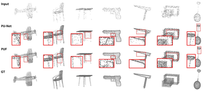
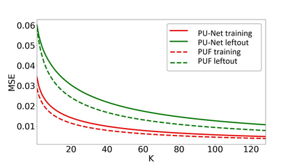
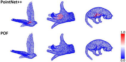
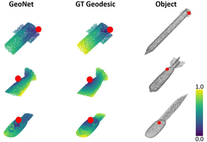
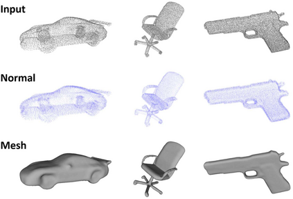
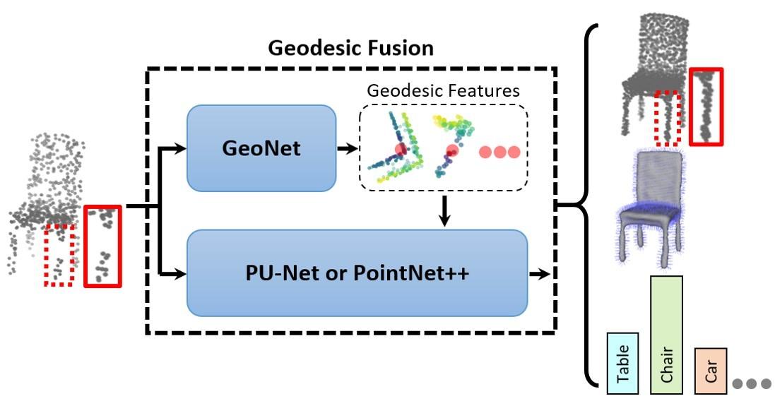
Surface-based geodesic topology provides strong cues for object semantic analysis and geometric modeling. However, such connectivity information is lost in point clouds. Thus we introduce GeoNet, the first deep learning architecture trained to model the intrinsic structure of surfaces represented as point clouds. To demonstrate the applicability of learned geodesic-aware representations, we propose fusion schemes which use GeoNet in conjunction with other baseline or backbone networks, such as PU-Net and PointNet++, for down-stream point cloud analysis. Our method improves the state-of-the-art on multiple representative tasks that can benefit from understandings of the underlying surface topology, including point upsampling, normal estimation, mesh reconstruction and non-rigid shape classification.
翻译:以地表为基础的大地测量地形学为对象语义分析和几何建模提供了强有力的提示,然而,这种连通性信息在点云中丢失了。 因此,我们引入了地理网,这是第一个经过训练以模拟作为点云的表面的内在结构为模型的深层学习架构。为了证明所学的大地测量特征显示的实用性,我们建议结合其他基线或主干网络(如PU-Net和PointNet+++)来进行下游点云分析的聚合计划。我们的方法改进了多份具有代表性的任务的最新技术,这些任务可以受益于对地表基本地形学的理解,包括点采样、正常估计、网状重建和非固态形状分类。

