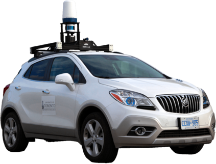
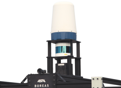
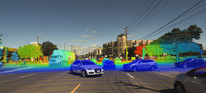
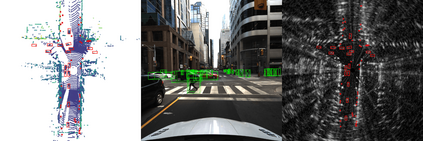
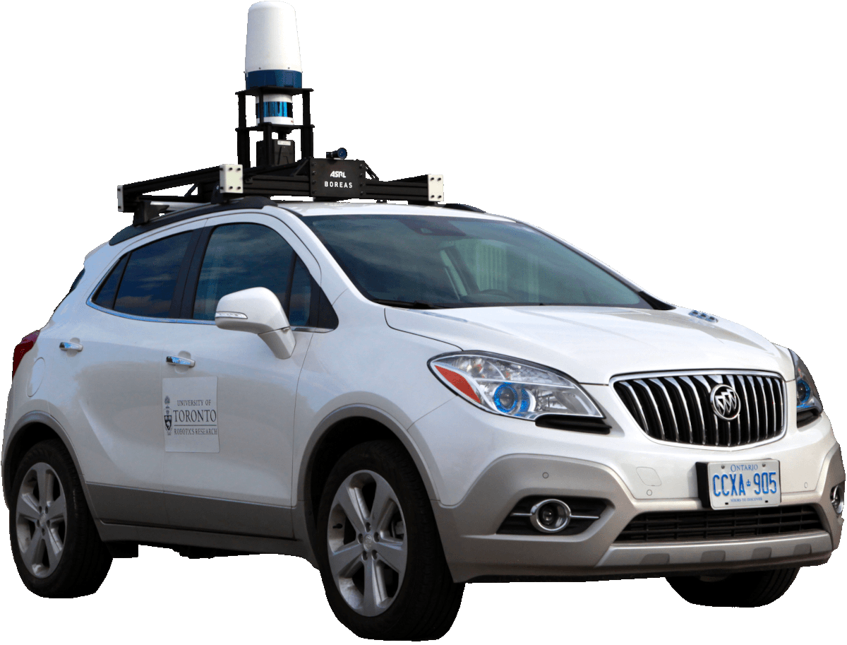
The Boreas dataset was collected by driving a repeated route over the course of one year, resulting in stark seasonal variations and adverse weather conditions such as rain and falling snow. In total, the Boreas dataset includes over 350km of driving data featuring a 128-channel Velodyne Alpha Prime lidar, a 360$^\circ$ Navtech CIR304-H scanning radar, a 5MP FLIR Blackfly S camera, and centimetre-accurate post-processed ground truth poses. Our dataset will support live leaderboards for odometry, metric localization, and 3D object detection. The dataset and development kit are available at https://www.boreas.utias.utoronto.ca
翻译:博雷亚斯数据集的收集是通过在一年中反复使用一条路线收集的,造成严酷的季节性变化和恶劣的天气条件,如雨雪和降雪等,而博雷亚斯数据集总共包括350多公里的驾驶数据,包括128个频道Velodyne Alpha Prime Lidar、360美元 ⁇ crc$Navtech CIR304-H扫描雷达、5MP FLIR Blackfly S 相机和1厘米的经过处理的地面后精确真相。我们的数据集将支持对odology、度量地化和3D物体探测的实时头板。数据集和开发工具包可在https://www.boreas.utias.utoronto.ca上查阅。

