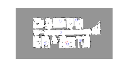
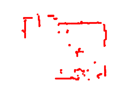
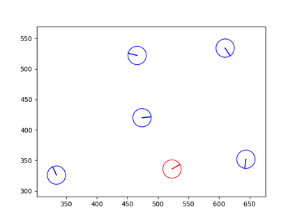
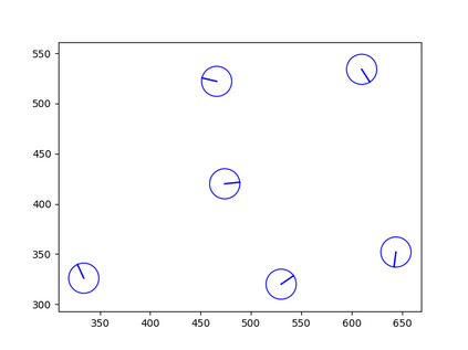
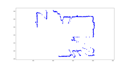
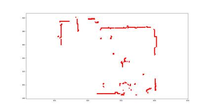
Determining the state of a mobile robot is an essential building block of robot navigation systems. In this paper, we address the problem of estimating the robots pose in an indoor environment using 2D LiDAR data and investigate how modern environment models can improve gold standard Monte-Carlo localization (MCL) systems. We propose a neural occupancy field (NOF) to implicitly represent the scene using a neural network. With the pretrained network, we can synthesize 2D LiDAR scans for an arbitrary robot pose through volume rendering. Based on the implicit representation, we can obtain the similarity between a synthesized and actual scan as an observation model and integrate it into an MCL system to perform accurate localization. We evaluate our approach on five sequences of a self-recorded dataset and three publicly available datasets. We show that we can accurately and efficiently localize a robot using our approach surpassing the localization performance of state-of-the-art methods. The experiments suggest that the presented implicit representation is able to predict more accurate 2D LiDAR scans leading to an improved observation model for our particle filter-based localization. The code of our approach is released at: https://github.com/PRBonn/ir-mcl.
翻译:确定移动机器人状态是机器人导航系统的基本构件。 在本文中,我们用 2D LiDAR 数据解决了利用 2D LiDAR 数据估算机器人在室内环境中构成的问题,并调查现代环境模型如何能够改进金标准 Monte-Carlo 本地化系统。 我们提议一个神经占用场(NOF ), 以隐含的方式使用神经网络代表场景。 通过预先培训的网络, 我们可以合成2D LiDAR 扫描, 以通过体积转换任意机器人构成。 根据隐含的表示, 我们可以获得综合扫描和实际扫描作为观测模型的相似性, 并将其纳入MCL 系统, 以进行准确的本地化。 我们评估了我们关于自我记录的数据集和三种公开提供的数据集的五个序列的方法。 我们表明,我们可以使用我们的方法, 准确和高效地将机器人本地化, 超过州- 艺术方法的本地化性能。 实验表明, 所呈现的隐含式表示能够预测更准确的 2D LiDAR 扫描, 导致改进基于颗粒过滤的本地化的观测模型。 我们的方法的代码在 http://Borgin/ 。


