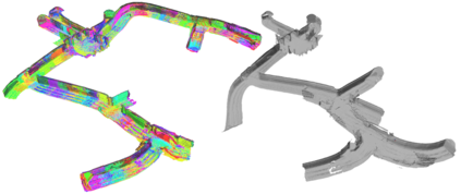
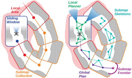
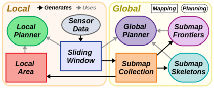
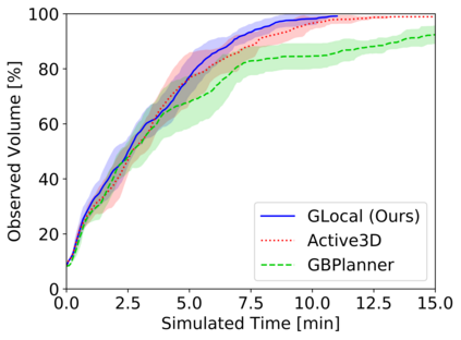
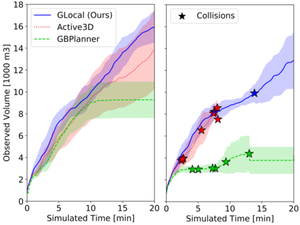
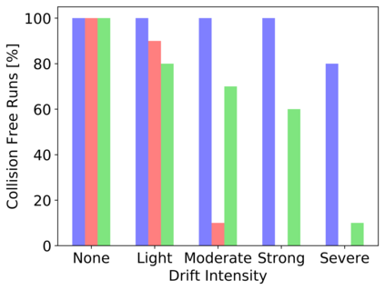
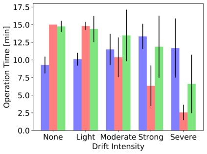
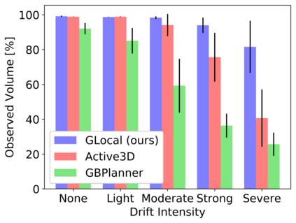
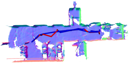
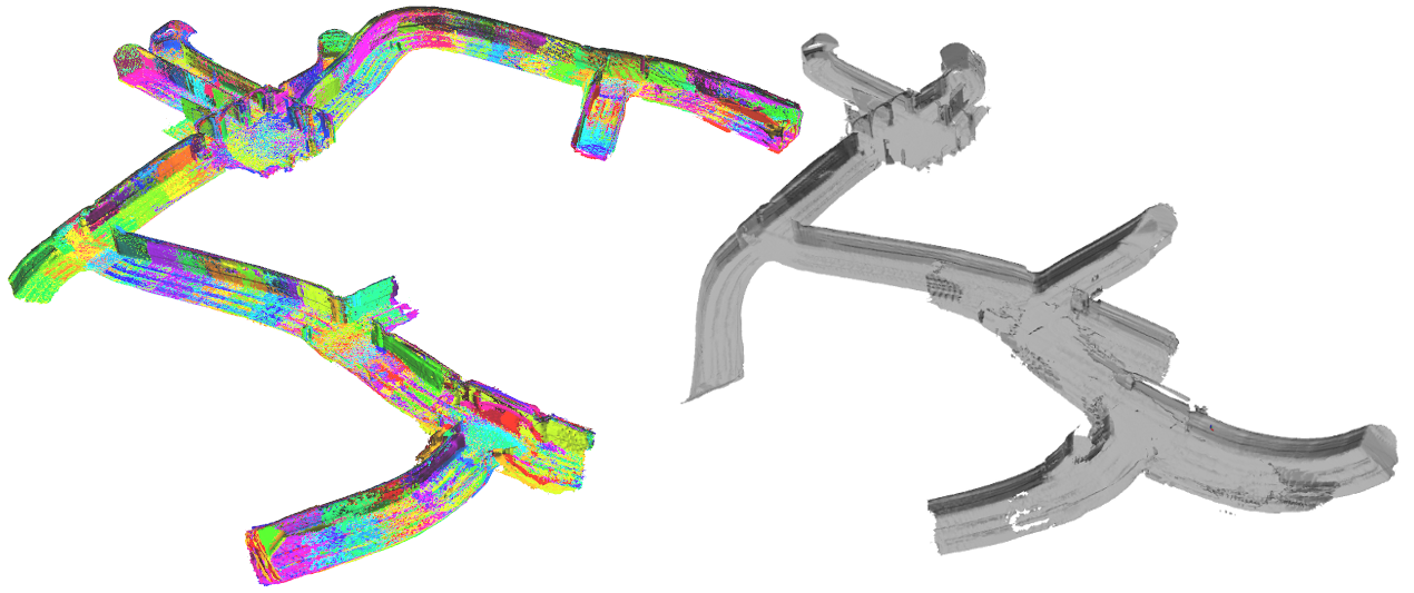
Exploration is a fundamental problem in robot autonomy. A major limitation, however, is that during exploration robots oftentimes have to rely on on-board systems alone for state estimation, accumulating significant drift over time in large environments. Drift can be detrimental to robot safety and exploration performance. In this work, a submap-based, multi-layer approach for both mapping and planning is proposed to enable safe and efficient volumetric exploration of large scale environments despite odometry drift. The central idea of our approach combines local (temporally and spatially) and global mapping to guarantee safety and efficiency. Similarly, our planning approach leverages the presented map to compute global volumetric frontiers in a changing global map and utilizes the nature of exploration dealing with partial information for efficient local and global planning. The presented system is thoroughly evaluated and shown to outperform state of the art methods even under drift-free conditions. Our system, termed GLoca}, will be made available open source.
翻译:探索是机器人自主的根本问题。然而,一个重大的限制是,在勘探机器人期间,往往只依靠机载系统进行国家估计,在大环境中逐渐大量漂移。Drift可能会损害机器人的安全和勘探性能。在这项工作中,提议在绘图和规划方面采用基于子图的多层方法,以便安全和高效地对大型环境进行体积勘探,尽管在漂移。我们方法的中心思想是将当地(时空)和全球绘图结合起来,以保证安全和效率。同样,我们的规划方法利用所提供的地图在不断变化的全球地图中计算全球体积边界,并利用勘探的性质处理局部信息,促进有效的当地和全球规划。所提出的系统经过彻底评估,并显示即使在无漂移条件下也优于艺术方法的状态。我们的系统,即GLoca}将获得开放源。

