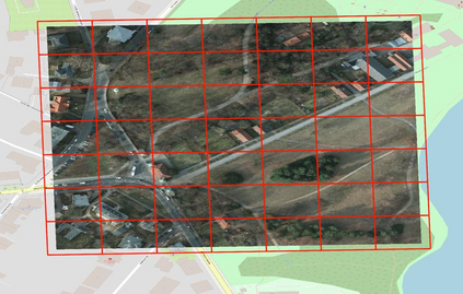
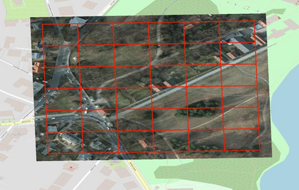
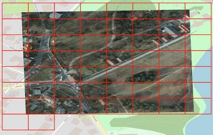
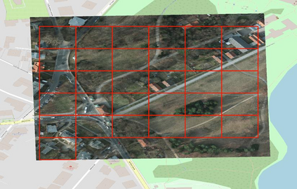
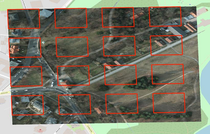
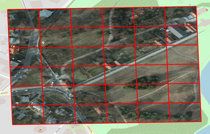
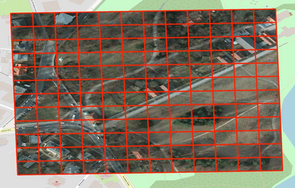
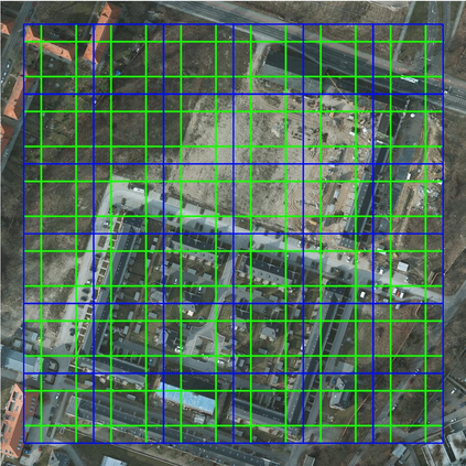
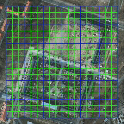
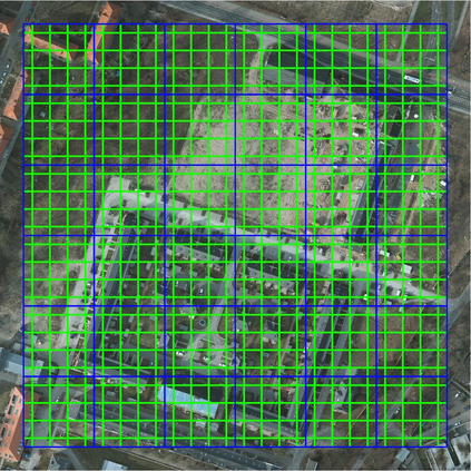
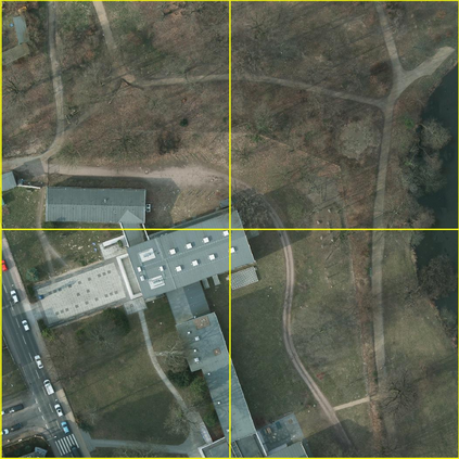
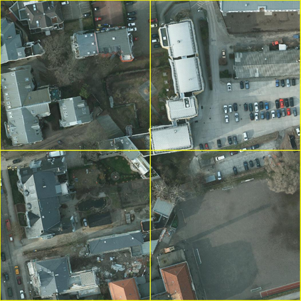
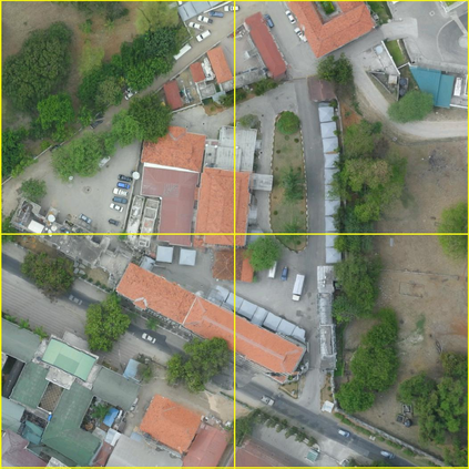
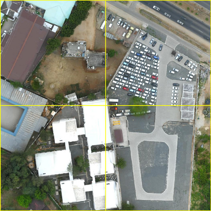
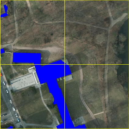
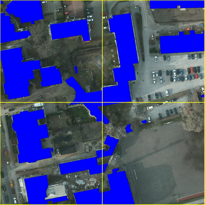
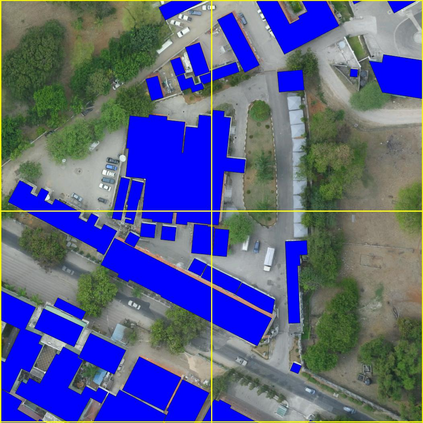
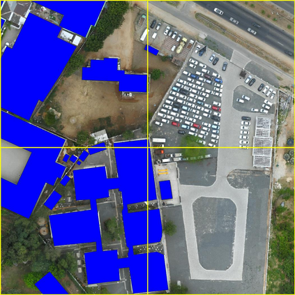
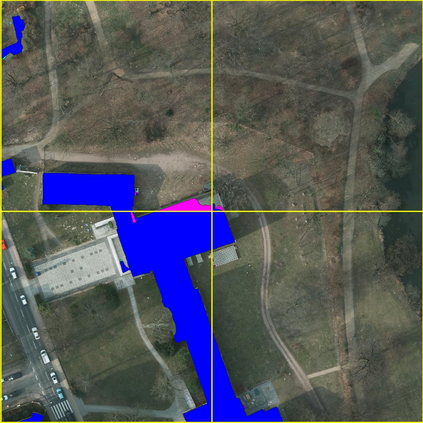
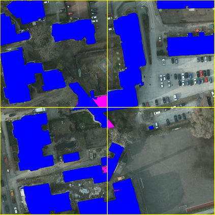
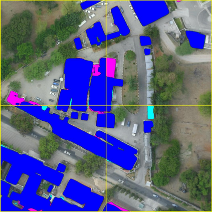
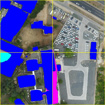
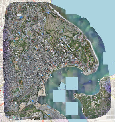
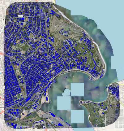
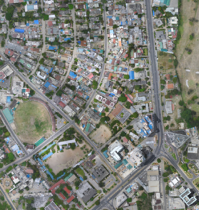
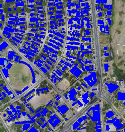
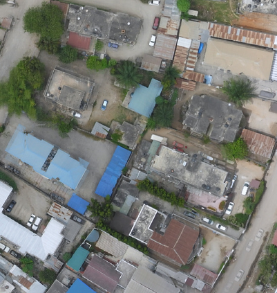
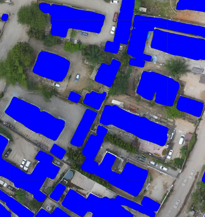
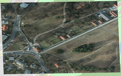
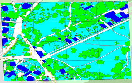
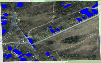
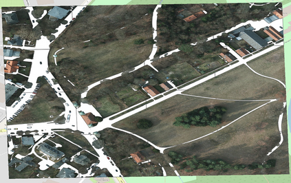
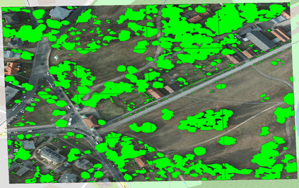
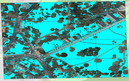
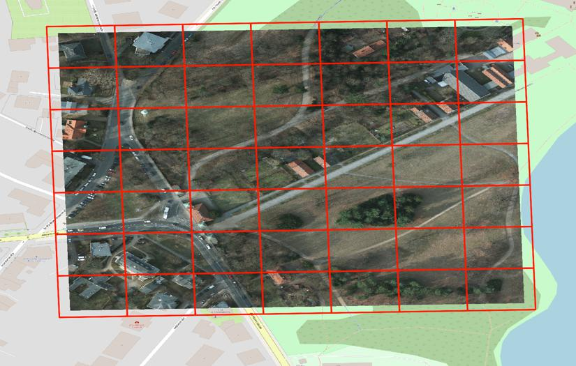
To cope with the high requirements during the computation of semantic segmentations of earth observation imagery, current state-of-the-art pipelines divide the corresponding data into smaller images. Existing methods and benchmark datasets oftentimes rely on pixel-based tiling schemes or on geo-tiling schemes employed by web mapping applications. The selection of subimages (comprising size, location and orientation) is crucial. It affects the available context information of each pixel, defines the number of tiles during training, and influences the degree of information degradation while down- and up-sampling the tile contents to the size required by the segmentation model. We propose a new segmentation pipeline for earth observation imagery relying on a tiling scheme that creates geo-tiles based on the geo-information of the raster data. This approach exhibits several beneficial properties compared to pixel-based or common web mapping approaches. The proposed tiling scheme shows flexible customization properties regarding tile granularity, tile stride and image boundary alignment. This allows us to perform a tile specific data augmentation during training and a substitution of pixel predictions with limited context information using data of overlapping tiles during inference. The generated tiles show a consistent spatial tile extent w.r.t. heterogeneous sensors, varying recording distances and different latitudes. We demonstrate how the proposed tiling system allows to improve the results of current state-of-the-art semantic segmentation models. To foster future research we make the source code publicly available.
翻译:暂无翻译

