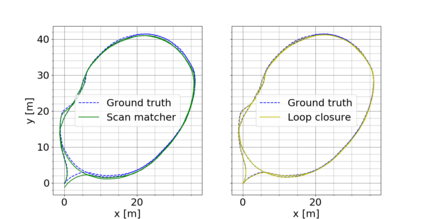
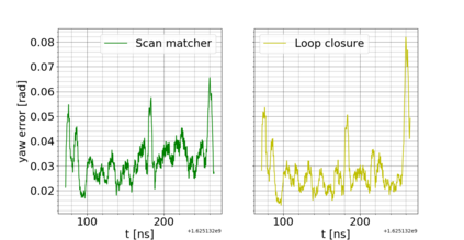
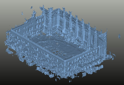
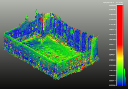
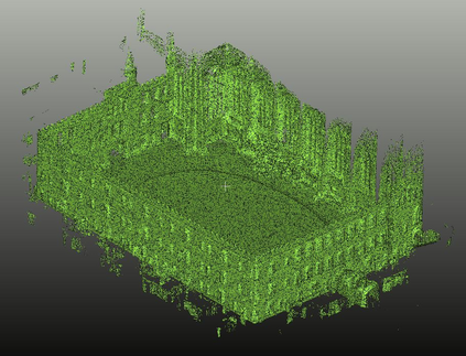
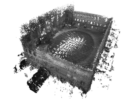
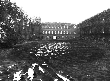
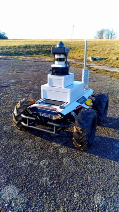
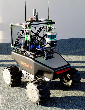
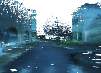
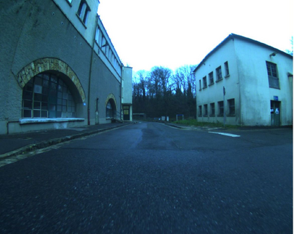
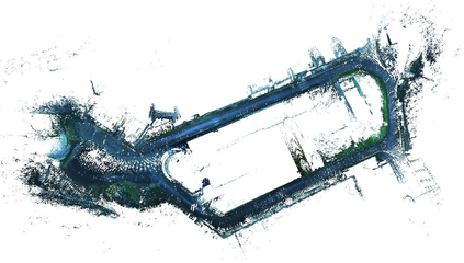
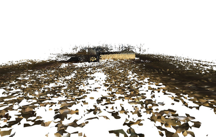
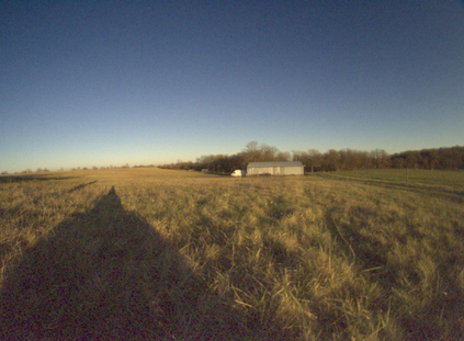
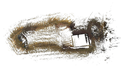
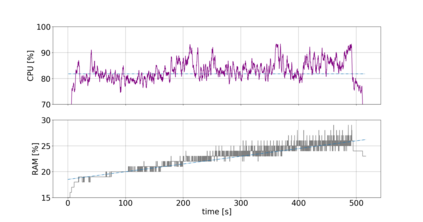
This paper introduces an Online Localisation and Colored Mesh Reconstruction (OLCMR) ROS perception architecture for ground exploration robots aiming to perform robust Simultaneous Localisation And Mapping (SLAM) in challenging unknown environments and provide an associated colored 3D mesh representation in real time. It is intended to be used by a remote human operator to easily visualise the mapped environment during or after the mission or as a development base for further researches in the field of exploration robotics. The architecture is mainly composed of carefully-selected open-source ROS implementations of a LiDAR-based SLAM algorithm alongside a colored surface reconstruction procedure using a point cloud and RGB camera images projected into the 3D space. The overall performances are evaluated on the Newer College handheld LiDAR-Vision reference dataset and on two experimental trajectories gathered on board of representative wheeled robots in respectively urban and countryside outdoor environments. Index Terms: Field Robots, Mapping, SLAM, Colored Surface Reconstruction
翻译:本文介绍了地面探索机器人在线本地化和有色网目重建(OLCMR)的ROS感知架构,目的是在挑战未知环境中进行稳健的同步本地化和绘图(SLAM),并实时提供相关的彩色3D网格图示,意在由远程人类操作者在任务期间或任务之后,或作为勘探机器人领域进一步研究的开发基地,方便地直观地图环境;该架构主要由精心选择的开源ROS在使用投射到3D空间的点云和RGB相机图像进行彩色地表重建程序的同时,实施基于LIDAR的SM算法的公开源实施;总体性能在纽尔学院手持LIDAR-视野参考数据集和在城乡户外环境有代表性的轮式机器人上收集的两个实验轨迹上进行评估。索引术语:实地机器人、绘图、SLMM、彩色地表重建。


