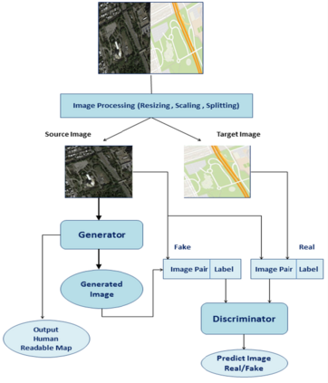
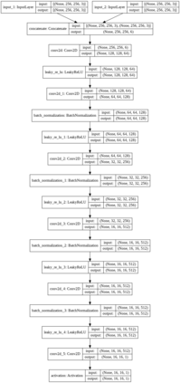
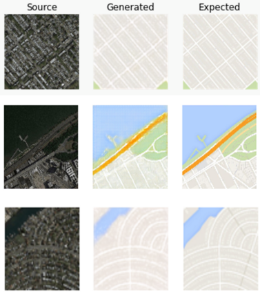
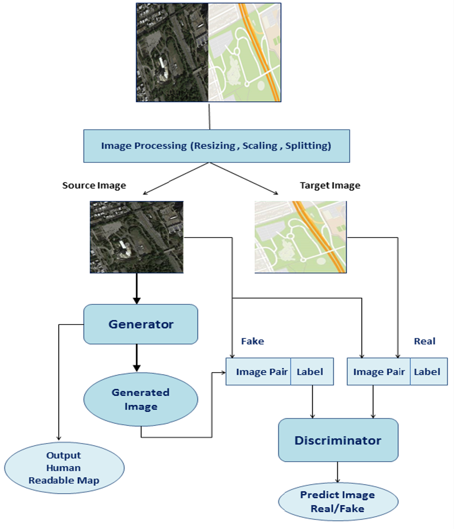
Generation of maps from satellite images is conventionally done by a range of tools. Maps became an important part of life whose conversion from satellite images may be a bit expensive but Generative models can pander to this challenge. These models aims at finding the patterns between the input and output image. Image to image translation is employed to convert satellite image to corresponding map. Different techniques for image to image translations like Generative adversarial network, Conditional adversarial networks and Co-Variational Auto encoders are used to generate the corresponding human-readable maps for that region, which takes a satellite image at a given zoom level as its input. We are training our model on Conditional Generative Adversarial Network which comprises of Generator model which which generates fake images while the discriminator tries to classify the image as real or fake and both these models are trained synchronously in adversarial manner where both try to fool each other and result in enhancing model performance.
翻译:从卫星图像中绘制地图通常由一系列工具进行。地图成为生命中的一个重要部分,其从卫星图像转换可能费用略高,但具有创举性的模式可以迎合这一挑战。这些模型旨在寻找输入和输出图像之间的模式。图像转换成图像转换用于将卫星图像转换为相应的地图。图像转换为图像转换技术,如基因对抗网络、条件对立网络和共同动态自动编码器等不同图像转换为图像翻译技术被用于为该区域绘制相应的人读地图,该区域在一定的缩放水平上将卫星图像作为输入。我们正在培训我们的模型,该模型由生成假图像的发电机模型组成,而歧视者试图将该图像归类为真实或假图像,同时以对抗方式同步培训这两种模型,既试图互相愚弄,又能够提高模型性能。

