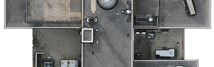
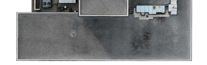
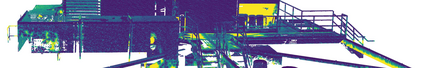
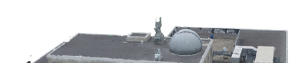
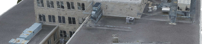
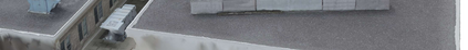
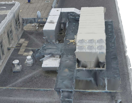
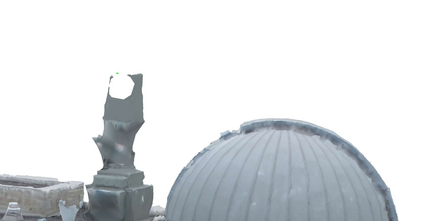
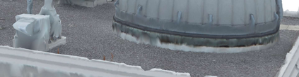
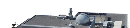
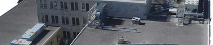
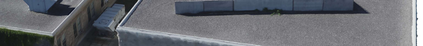
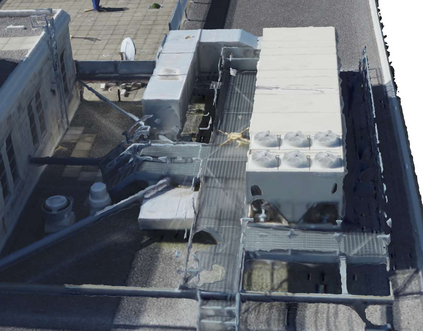
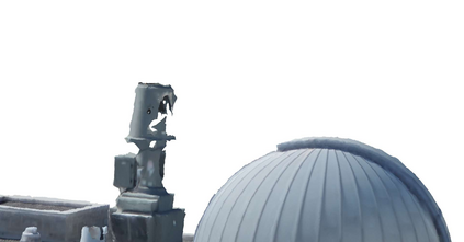
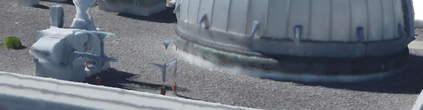
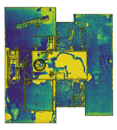
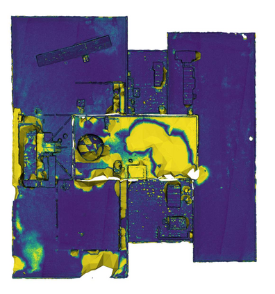
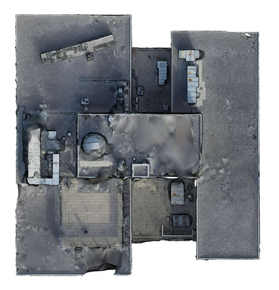
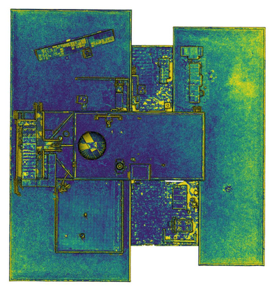
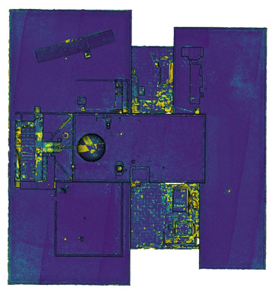
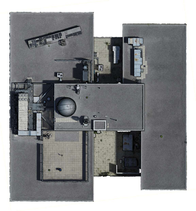
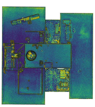
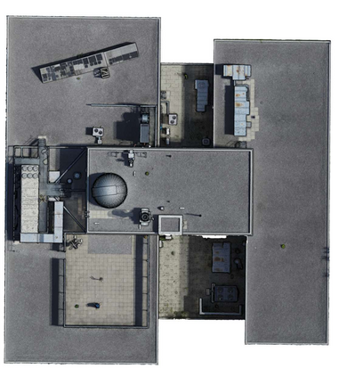
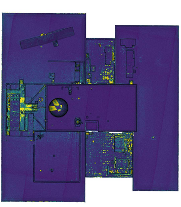
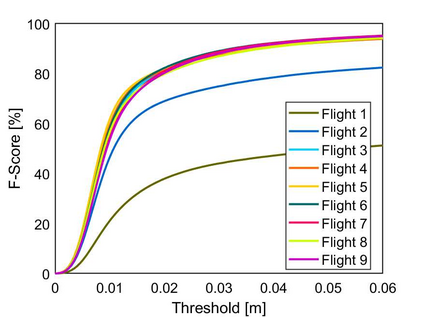
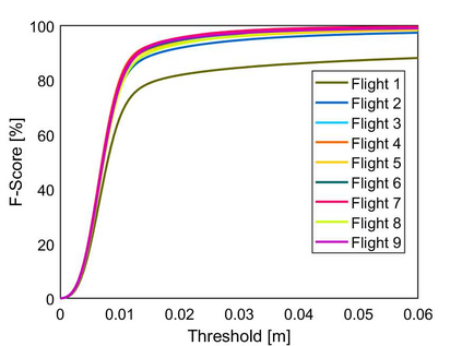
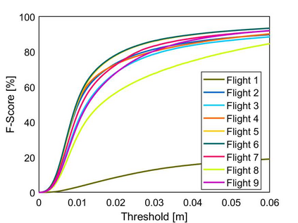
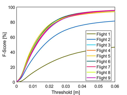
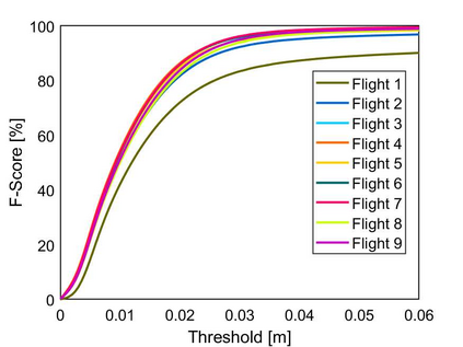
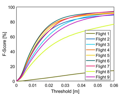
Rooftop 3D reconstruction using UAV-based photogrammetry offers a promising solution for infrastructure assessment, but existing methods often require high percentages of image overlap and extended flight times to ensure model accuracy when using autonomous flight paths. This study systematically evaluates key flight parameters-ground sampling distance (GSD) and image overlap-to optimize the 3D reconstruction of complex rooftop infrastructure. Controlled UAV flights were conducted over a multi-segment rooftop at Queen's University using a DJI Phantom 4 Pro V2, with varied GSD and overlap settings. The collected data were processed using Reality Capture software and evaluated against ground truth models generated from UAV-based LiDAR and terrestrial laser scanning (TLS). Experimental results indicate that a GSD range of 0.75-1.26 cm combined with 85% image overlap achieves a high degree of model accuracy, while minimizing images collected and flight time. These findings provide guidance for planning autonomous UAV flight paths for efficient rooftop assessments.
翻译:暂无翻译