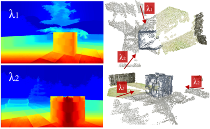
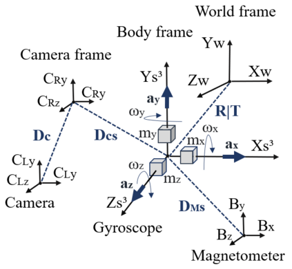
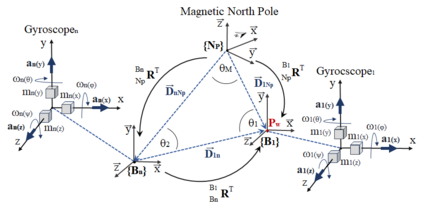
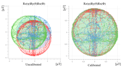
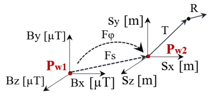
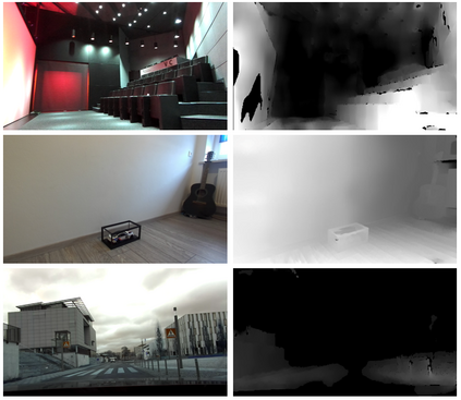
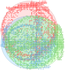
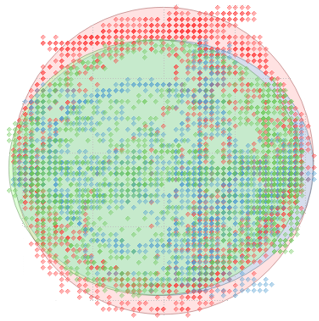
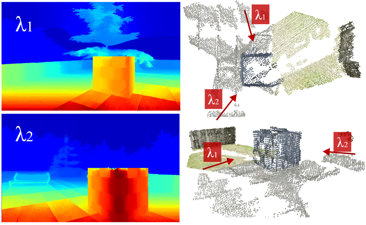
Optical sensors can capture dynamic environments and derive depth information in near real-time. The quality of these digital reconstructions is determined by factors like illumination, surface and texture conditions, sensing speed and other sensor characteristics as well as the sensor-object relations. Improvements can be obtained by using dynamically collected data from multiple sensors. However, matching the data from multiple sensors requires a shared world coordinate system. We present a concept for transferring multi-sensor data into a commonly referenced world coordinate system: the earth's magnetic field. The steady presence of our planetary magnetic field provides a reliable world coordinate system, which can serve as a reference for a position-defined reconstruction of dynamic environments. Our approach is evaluated using magnetic field sensors of the ZED 2 stereo camera from Stereolabs, which provides orientation relative to the North Pole similar to a compass. With the help of inertial measurement unit informations, each camera's position data can be transferred into the unified world coordinate system. Our evaluation reveals the level of quality possible using the earth magnetic field and allows a basis for dynamic and real-time-based applications of optical multi-sensors for environment detection.
翻译:光学传感器可以近实时捕捉动态环境并获取深度信息。这些数字重建的质量是由照明、地表和质地条件、感测速度和其他感应特性以及传感器和物体关系等因素决定的。通过使用动态收集的多个传感器数据可以取得改进。然而,从多个传感器对数据进行匹配需要共享的世界协调系统。我们提出了一个将多传感器数据传输到一个共同引用的世界协调系统:地球磁场的概念。我们行星磁场的稳定存在提供了一个可靠的世界协调系统,它可以作为定位定位环境重建的参照。我们的方法是通过Stereolabs的ZED 2 立体摄像机的磁场传感器进行评估,该传感器提供与北极相类似的方向。在惯性测量单位信息的帮助下,每个相机的位置数据可以传输到统一的世界协调系统:地球磁场。我们的评估揭示了利用地球磁场可能达到的质量水平,并为光学多传感器进行环境探测的动态和实时应用提供了基础。

