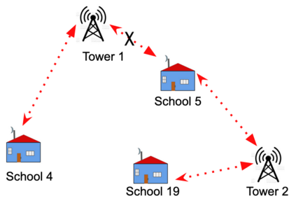
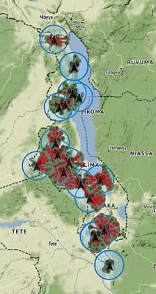
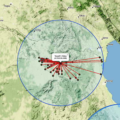
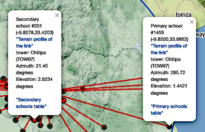
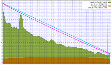
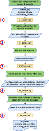
Providing Internet connectivity to schools has been identified as paramount for development, for instance in the Giga project, cosponsored by ITU and UNICEF, with the goal of connecting every school to the Internet by 2030. For a country wide deployment, it is imperative to perform a thorough planning of the whole installation, using radio frequency (RF) propagation models. While statistical models based on empirical RF propagation data gathered in different scenarios can be employed, for point to point links at microwave frequencies the existence of a clear line of sight (LOS) is normally a prerequisite. The Irregular terrain model which makes use of digital elevation maps (DEM) has proved quite effective for simulating point to point links, but its application to a great number of links becomes time consuming, so we have developed an automated framework to perform this task. As a case study we have applied this framework in the planning of a project mired at providing connectivity to primary and secondary schools all over the country of Malawi.
翻译:向学校提供互联网连接已被确定为对于发展至关重要,例如在国际电联和儿童基金会共同赞助的Giga项目中,该项目的目标是到2030年将每所学校与互联网连接起来;对于全国部署而言,必须利用无线电频率传播模型,彻底规划整个安装;虽然可以采用基于在不同情景下收集的经验性RF传播数据的统计模型,但是在微波频率点点点连接点上,使用清晰的视线(LOS)通常是一个先决条件;使用数字高地图(DEM)的不规则地形模型已证明对模拟点与点链接相当有效,但是对大量链接的应用变得耗时,因此我们开发了一个执行这项任务的自动化框架;作为案例研究,我们在规划一个为马拉维全国中小学提供连接的项目时采用了这一框架。

