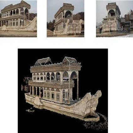
3D recovery from multi-stereo and stereo images, as an important application of the image-based perspective geometry, serves many applications in computer vision, remote sensing and Geomatics. In this chapter, the authors utilize the imaging geometry and present approaches that perform 3D reconstruction from cross-view images that are drastically different in their viewpoints. We introduce our framework that takes ground-view images and satellite images for full 3D recovery, which includes necessary methods in satellite and ground-based point cloud generation from images, 3D data co-registration, fusion and mesh generation. We demonstrate our proposed framework on a dataset consisting of twelve satellite images and 150k video frames acquired through a vehicle-mounted Go-pro camera and demonstrate the reconstruction results. We have also compared our results with results generated from an intuitive processing pipeline that involves typical geo-registration and meshing methods.
翻译:3D 从多立体和立体图像中恢复,作为基于图像的视角几何学的重要应用,为计算机视觉、遥感和地球数学方面的许多应用提供了服务,在本章中,作者利用图像几何学和当前的方法,从他们观点截然不同的交叉图像中进行3D重建。我们引入了我们的框架,将地面图像和卫星图像用于全立体恢复,其中包括从图像、3D数据共同登记、聚合和网状生成的卫星和地面点云生成的必要方法。我们展示了我们提议的由12个卫星图像和150公里视频框组成的数据集框架,这些数据集是通过车载Go-pro相机获得的,并展示了重建结果。我们还将我们的成果与包含典型的地理登记和网格方法的直观处理管道的结果进行了比较。


