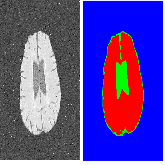
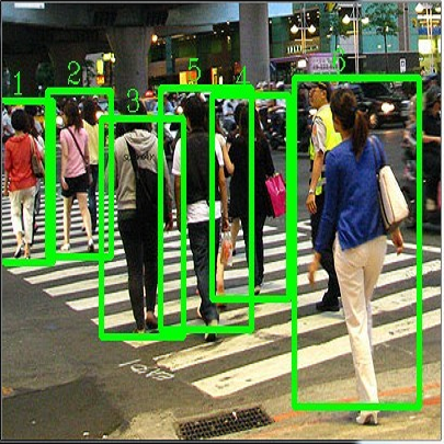
One of the promising applications of satellite images is building construction monitoring. It allows to control the construction progress around the world even in the locations that are hard to reach. One of the main hurdles of this approach is the interpretation of the image data. In this paper, we have employed several novel deep learning techniques to tackle the problem. Various image segmentation and object detection networks were combined into a unified pipeline, which was then used to determine the building construction progress.
翻译:卫星图像的一个有希望的应用是建筑施工监测,它能够控制全世界建筑工程的进展,即使在难以到达的地点也是如此。这一方法的一个主要障碍是图像数据的解释。在本文件中,我们使用了若干新的深层学习技术来解决这个问题。各种图像分割和物体探测网络被合并成一个统一的管道,然后用来确定建筑施工的进展。
相关内容
Networking:IFIP International Conferences on Networking。
Explanation:国际网络会议。
Publisher:IFIP。
SIT: http://dblp.uni-trier.de/db/conf/networking/index.html
Arxiv
0+阅读 · 2022年11月7日
Arxiv
0+阅读 · 2022年11月3日
Arxiv
10+阅读 · 2021年1月24日


