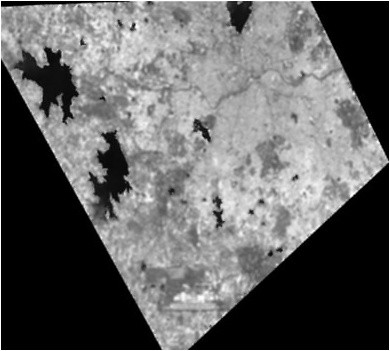
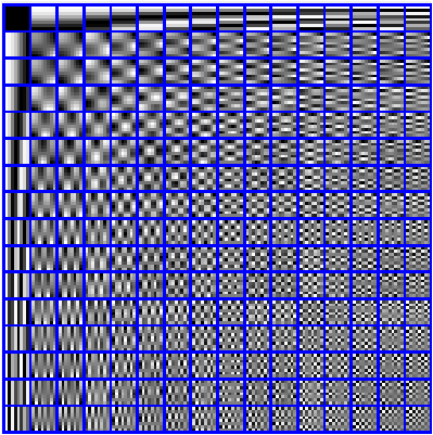
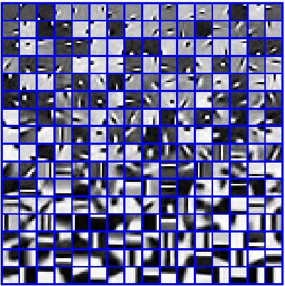
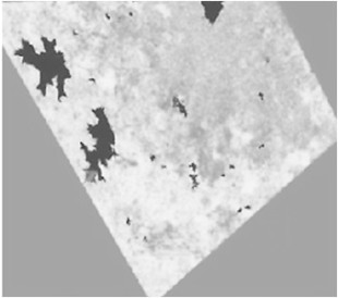
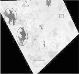
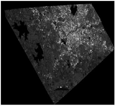
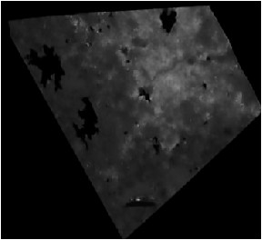
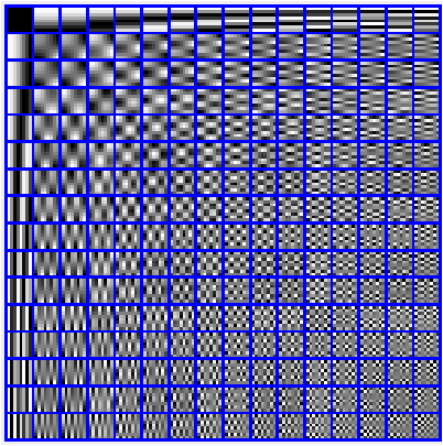
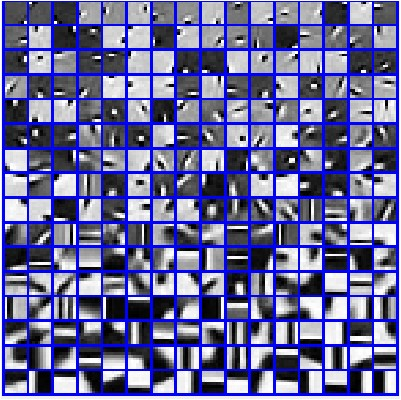
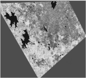
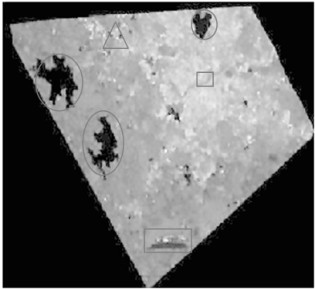
Optical image data have been used by the Remote Sensing workforce to study land use and cover since such data is easily interpretable. Synthetic Aperture Radar (SAR) has the characteristic of obtaining images during all-day, all-weather and provides object information that is different from visible and infrared sensors. However, SAR images have more speckle noise and fewer dimensions. This paper presents a method for denoising, feature extraction and compares classifications of Optical and SAR images. The image was denoised using K-Singular Value Decomposition (K-SVD) algorithm. A method to map the extraordinary goal signatures to be had withinside the SAR or Optical image using support vector machine (SVM) through offering given the enter facts to the supervised classifier. Initially, the Gray Level Histogram (GLH) and Gray Level Co-occurrence Matrix (GLCM) are used for feature extraction. Secondly, the extracted feature vectors from the first step were combined using correlation analysis to reduce the dimensionality of the feature spaces. Thirdly, the Classification of SAR images was done in Sparse Representations Classification (SRC). The above-mentioned classifications techniques were developed and performance parameters are accuracy and Kappa Coefficient calculated using MATLAB 2018a.
翻译:遥感工作人员利用光学和合成孔径雷达(SAR)来研究土地使用和覆盖情况,因为这种数据易于解释。合成孔径雷达(SAR)具有在全天、全天候全天候获得图像的特征,并提供不同于可见传感器和红外传感器的物体信息;然而,合成孔径雷达的图像有更闪烁的噪音和较少的尺寸;本文介绍了光学和合成孔径雷达图像的分解、特征提取和比较分类的方法;该图像使用K-Singlusulal 值分解算法(K-SVD)进行了脱色处理;使用支持矢量机(SVM)在合成孔径雷达或光学图像内绘制特殊目标标志的方法,通过向受监督的分类器提供输入事实;最初,使用灰度直径直径直径镜(GLH)和灰度水平共振动矩阵(GLCMC)进行地貌分解;第二,第一步提取的地貌矢量矢量结合了相关分析,以降低地貌空间的维度。第三,在Sprassreareal 示图(SRC)中进行了合成分解。