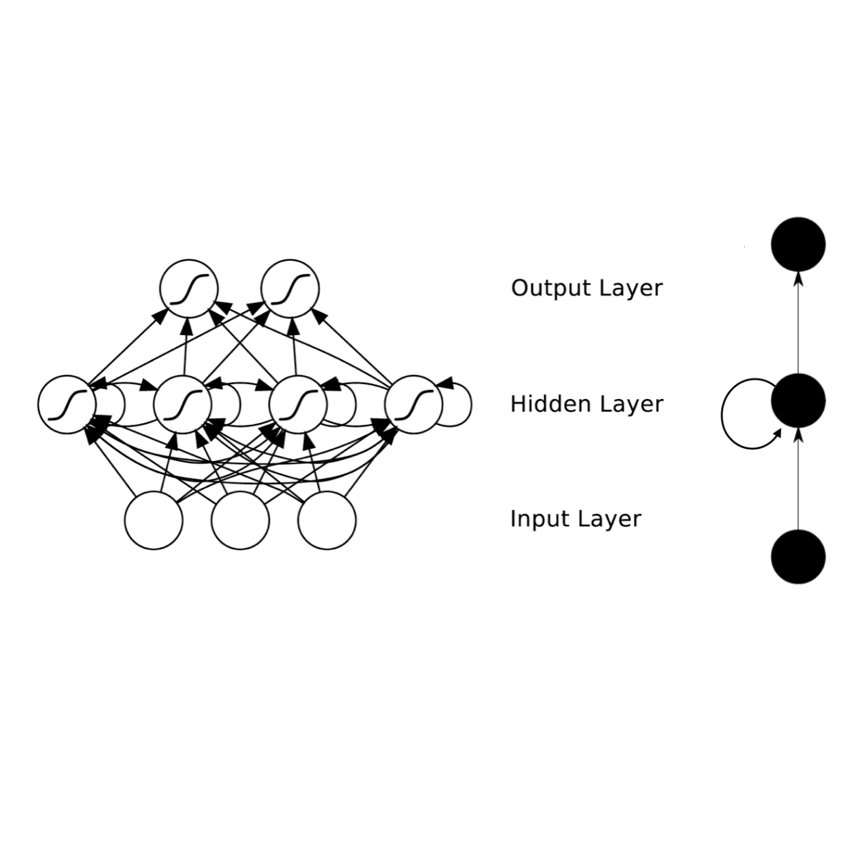
Autonomous missions of drones require continuous and reliable estimates for the drone's attitude, velocity, and position. Traditionally, these states are estimated by applying Extended Kalman Filter (EKF) to Accelerometer, Gyroscope, Barometer, Magnetometer, and GPS measurements. When the GPS signal is lost, position and velocity estimates deteriorate quickly, especially when using low-cost inertial sensors. This paper proposes an estimation method that uses a Recurrent Neural Network (RNN) to allow reliable estimation of a drone's position and velocity in the absence of GPS signal. The RNN is trained on a public dataset collected using Pixhawk. This low-cost commercial autopilot logs the raw sensor measurements (network inputs) and corresponding EKF estimates (ground truth outputs). The dataset is comprised of 548 different flight logs with flight durations ranging from 4 to 32 minutes. For training, 465 flights are used, totaling 45 hours. The remaining 83 flights totaling 8 hours are held out for validation. Error in a single flight is taken to be the maximum absolute difference in 3D position (MPE) between the RNN predictions (without GPS) and the ground truth (EKF with GPS). On the validation set, the median MPE is 35 meters. MPE values as low as 2.7 meters in a 5-minutes flight could be achieved using the proposed method. The MPE in 90% of the validation flights is bounded below 166 meters. The network was experimentally tested and worked in real-time.
翻译:无人驾驶飞机的自主飞行任务需要连续和可靠地估计无人驾驶飞机的态度、速度和位置。 传统上, 这些国家是通过对加速计、 气相镜、 气压计、 气压计、 气压计、 磁强计和全球定位系统测量应用扩展卡尔曼过滤器( EKF ) 来估计的。 当全球定位系统信号丢失时, 位置和速度估计迅速恶化, 特别是当使用低成本惯性传感器时。 本文建议采用一个估算方法, 使用一个经常性神经网络( RNNN), 以便在没有全球定位系统信号的情况下可靠地估计无人驾驶飞机的位置和速度。 RNNN是在使用菲克斯鹰收集的公共数据集方面接受培训的。 这种低成本商业自动驾驶记录了原始传感器测量( 网络输入) 和相应的EKE 估计数( 地面事实输出) 。 数据集包括548个不同的飞行日志,飞行时间在4至32分钟之间; 培训时共使用了465个飞行小时。 其余83个总共8小时的飞行可以进行验证。 单次飞行的误差是3D( MPE) 实际飞行在35MF 平平米的轨道上进行了最短的精确的校平平平平平平平平平平平平平数的飞行的校的校测算。


