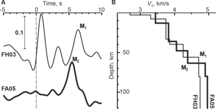
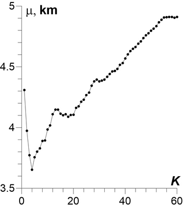
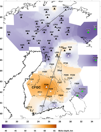
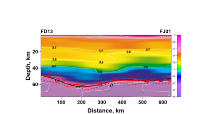
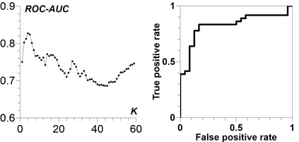
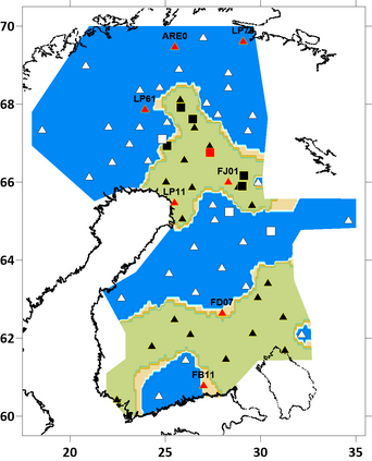
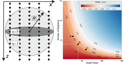
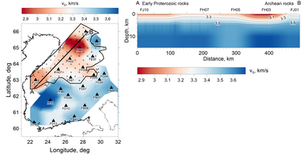
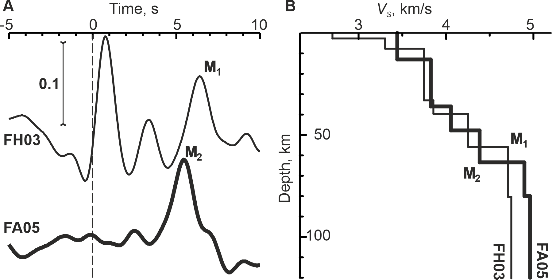
Machine learning methods were applied to reconsider the results of several passive seismic experiments in Finland. We created datasets from different stages of the receiver function technique and processed them with one of basic machine learning algorithms. All the results were obtained uniformly with the $k$-nearest neighbors algorithm. The first result is the Moho depth map of the region. Another result is the delineation of the near-surface low $S$-wave velocity layer. There are three such areas in the Northern, Southern, and central parts of the region. The low $S$-wave velocity in the Northern and Southern areas can be linked to the geological structure. However, we attribute the central low $S$-wave velocity area to a large number of water-saturated cracks in the upper 1-5 km. Analysis of the structure of this area leads us to the conclusion that macrofracturing was caused by the last deglaciation.
翻译:为了重新考虑芬兰若干被动地震实验的结果,芬兰采用了机器学习方法。我们从接收机功能技术的不同阶段创建了数据集,并用一种基本的机器学习算法进行了处理。所有结果均以美元最近的邻居算法统一获得。第一个结果是该区域的Moho深度图。另一个结果是划定近地表低S美元波速层。在芬兰北部、南部和中部地区有三个这样的地区。北南地区低S-波速率可以与地质结构联系起来。然而,我们把中央低S-波速区归因于1-5公里高处的大量水饱和裂缝。对该地区结构的分析使我们得出结论,宏观破坏是由上次脱压造成的。

