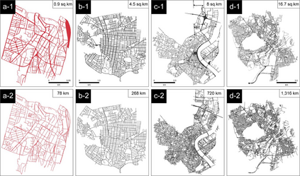
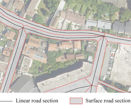
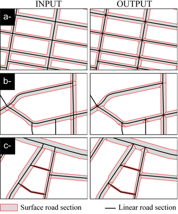
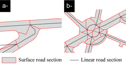
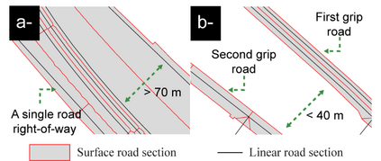
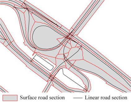
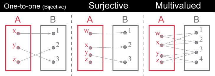
The real world and its geographic objects are modeled and represented in different spatial databases. Each of these databases provides only a partial description (in space and time) of the geographic objects represented. Sometimes, producers and users of databases need to connect several of them for updates or comparisons. Much of the work in spatial database management focuses on matching these spatial databases and more particularly network databases, such as road networks. With regard to network data, one situation remains neglected, that of matching a linear database (with polylines objects) with a surface database (with polygons objects). In any case, users also need to connect these two types of spatial database. In this paper, a case study is made using French examples (Cachan, near Paris), as well as international case studies (Bordeaux in France, Victoria in Canada, and Copenhagen in Denmark), to propose an approach intended to make coherent network geographical objects in two different reference frames (linear and surface). This issue is addressed here through the example of road data. The surface data are then formalized in order to adapt them to linear data describing the same geographical objects. In the end, a polygon in the surface data corresponds to a single polyline in the linear data. This consistency should simplify the transfer of information from one reference frame (linear or surface) to the other. In other words, the methodology developed aims to make linear and surfacegeographic data interoperable.
翻译:空间数据库管理的许多工作侧重于匹配这些空间数据库,特别是网络数据库,例如公路网络。关于网络数据,一种情况仍然被忽视,即将线性数据库(与多线性天体)与表面数据库(与多边形物体)相匹配。无论如何,用户也需要将这两种类型的空间数据库连接起来。本文中,案例研究需要用法国的例子(巴黎附近的Cachan)以及国际案例研究(法国、加拿大的维多利亚和丹麦的哥本哈根)进行,以便提出一种方法,在两个不同的参考框架(线性框架和地面框架)中使网络的地理目标一致。这个问题在这里通过道路数据的例子来处理。然后,将地面数据正规化,以便将其与描述同一类型地理目标的线性数据相连接。在本文中,利用法国的例子(巴黎附近的Cachan)以及国际案例研究(法国、加拿大的Bordeaux、加拿大的Victoria和丹麦的哥本哈根)进行案例研究,以便提出一种方法,使网络性地理图象(线性数据与其他线性数据在单一线性基准中转换)。

