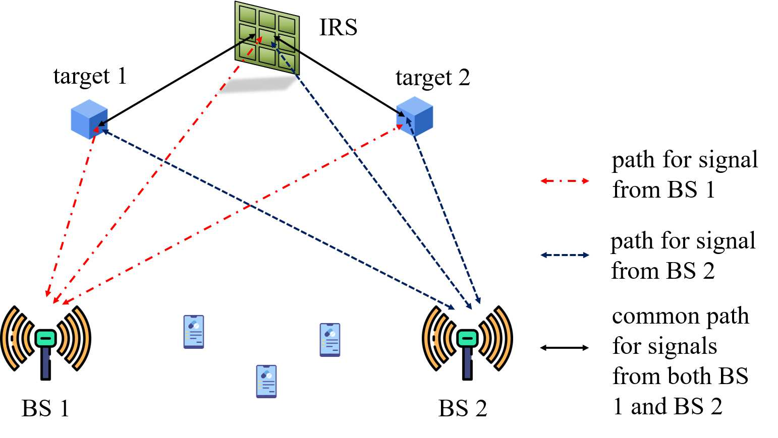
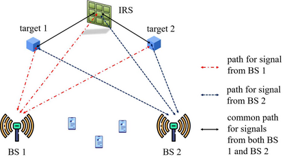
The classic trilateration technique can localize each target based on its distances to three anchors with known coordinates. Usually, this technique requires all the anchors and targets, e.g., the satellites and the mobile phones in Global Navigation Satellite System (GNSS), to actively transmit/receive radio signals such that the delay of the one-way radio signal propagated between each anchor and each target can be measured. Excitingly, this paper will show that the trilateration technique can be generalized to the scenario where one of the three anchors and all the targets merely reflect the radio signals passively as in radar networks, even if the propagation delay between the passive IRS and the passive targets is difficult to be measured directly, and the data association issue for multi-sensor multi-target tracking arises. Specifically, we consider device-free sensing in a cellular network consisting of two base stations (BSs), one passive intelligent reflecting surface (IRS), and multiple passive targets, to realize integrated sensing and communication (ISAC). The two BSs transmit the orthogonal frequency division multiplexing (OFDM) signals in the downlink and estimate the locations of the targets based on their reflected signals via/not via the IRS. We propose an efficient trilateration-based strategy that can first estimate the distances of each target to the two BSs and the IRS and then localize the targets. Numerical results show that the considered networked sensing architecture with heterogenous anchors can outperform its counterpart with three BSs.
翻译:典型的三延技术能够根据距离已知坐标的三个锚点的距离将每个目标本地化。通常,这一技术要求所有锚点和目标,例如全球导航卫星系统(GNSS)中的卫星和移动电话,积极传送/接收无线电信号,以便测量每个锚点和每个目标之间传播的单向无线电信号的延迟。令人振奋的是,本文将显示,三长技术可以推广到三个锚点之一和所有目标仅像雷达网络那样被动地反映无线电信号的情景中。即使被动IRS和被动目标之间的传播延迟难以直接测量,而且多传感器或多目标跟踪的数据关联问题也随之出现。具体地说,我们考虑在由两个基站(BS)组成的手机网络中进行无装置感测,一个被动智能反射表面(IRS)和多个被动目标,以实现综合感测和通信(ISAC)。两个BSRS级将被动频率分解多轴点信号(OFDDDM)传送到雷达网络中,在下行点点点和被动目标点上通过BS级模型显示高效的距离目标位置,我们可以通过两个图像显示其图像显示每个图像显示的图像,然后显示其图标点显示其图图显示其图图图标标点显示的定位和距离目标点点。


