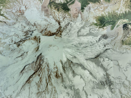
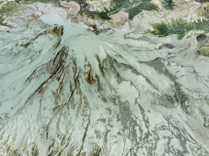
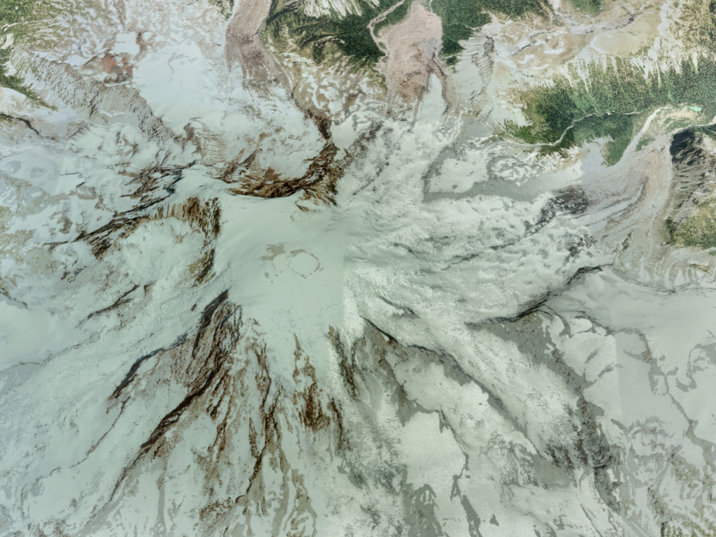
The navigation systems of autonomous aircraft rely on the readings provided by a suite of onboard sensors to estimate the aircraft state. In the case of fixed wing vehicles, the sensor suite is composed by triads of accelerometers, gyroscopes, and magnetometers, a Global Navigation Satellite System (GNSS) receiver, and an air data system (Pitot tube, air vanes, thermometer, and barometer), and is often complemented by one or more digital cameras. An accurate representation of the behavior and error sources of each of these sensors, together with the images generated by the cameras, in indispensable for flight simulation and the evaluation of novel inertial or visual navigation algorithms, and more so in the case of low SWaP (size, weight, and power) aircraft, in which the quality and price of the sensors is limited. This article presents realistic and customizable models for each of these sensors, which have been implemented as an open-source C ++ simulation. Provided with the true variation of the aircraft state with time, the simulation provides a time stamped series of the errors generated by all sensors, as well as realistic images of the Earth surface that resemble those taken from a real camera flying along the indicated state positions and attitudes.
翻译:自动飞机的导航系统依靠机载传感器提供的一系列测读器来估计飞机状态。对于固定翼飞行器而言,传感器套装由三重加速计、陀螺仪和磁强计、全球导航卫星系统接收器和空气数据系统(光导管、气箱、温度计和气压计)组成,并经常用一个或多个数字相机加以补充。准确显示每个传感器的行为和误差源,以及摄影机产生的图像,对于飞行模拟和评估新的惯性或视觉导航算法是不可或缺的,对于低SWaP(大小、重量和功率)飞机来说更是如此,这些传感器的质量和价格都有限。本文章为这些传感器中的每一个传感器提供了现实和可定制的模型,这些模型已经作为开源C++模拟而实施。在飞机状态发生真正变异的情况下,模拟提供了由所有传感器生成的误差时间标记系列,是所有传感器生成的惯性惯性或视觉导航算法所必须的,以及地面上真实的图像。


