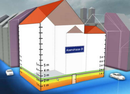
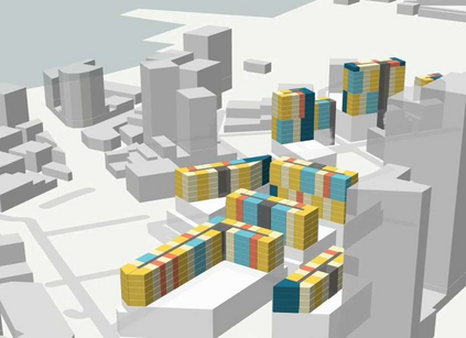
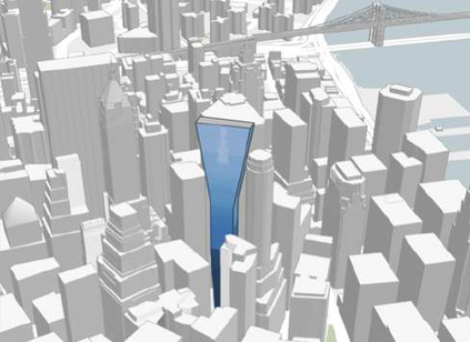
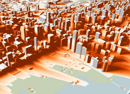
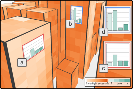
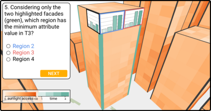
Recent technological innovations have led to an increase in the availability of 3D urban data, such as shadow, noise, solar potential, and earthquake simulations. These spatiotemporal datasets create opportunities for new visualizations to engage experts from different domains to study the dynamic behavior of urban spaces in this under explored dimension. However, designing 3D spatiotemporal urban visualizations is challenging, as it requires visual strategies to support analysis of time-varying data referent to the city geometry. Although different visual strategies have been used in 3D urban visual analytics, the question of how effective these visual designs are at supporting spatiotemporal analysis on building surfaces remains open. To investigate this, in this paper we first contribute a series of analytical tasks elicited after interviews with practitioners from three urban domains. We also contribute a quantitative user study comparing the effectiveness of four representative visual designs used to visualize 3D spatiotemporal urban data: spatial juxtaposition, temporal juxtaposition, linked view, and embedded view. Participants performed a series of tasks that required them to identify extreme values on building surfaces over time. Tasks varied in granularity for both space and time dimensions. Our results demonstrate that participants were more accurate using plot-based visualizations (linked view, embedded view) but faster using color-coded visualizations (spatial juxtaposition, temporal juxtaposition). Our results also show that, with increasing task complexity, plot-based visualizations perform better in preserving efficiency (time, accuracy) compared to color-coded visualizations. Based on our findings, we present a set of takeaways with design recommendations for 3D spatiotemporal urban visualizations for researchers and practitioners.
翻译:最近的技术创新导致3D城市数据的可用性增加,例如影子、噪音、太阳能潜力和地震模拟。这些时空数据为新视觉化提供了机会,让不同领域的专家参与研究城市空间的动态行为。然而,设计3D时空城市可视化具有挑战性,因为它需要视觉化战略来支持对时间变化数据的分析,这是指城市的几何。虽然在3D城市视觉分析中使用了不同的视觉战略,但这些视觉设计在支持建筑表面表面的直观精确度分析方面的有效性问题仍然开放。为了调查这一点,我们首先在与三个城市领域的从业人员进行访谈之后,为研究城市空间空间变化数据分析提供了一系列分析任务。 3D的视觉可视化数据包括:空间对地貌变化、时间对地貌的对比、连接视图和嵌入视图。 参与者们执行了一系列任务,要求他们更精确的直观度分析表面的精确度,我们首先提出一系列分析任务。


