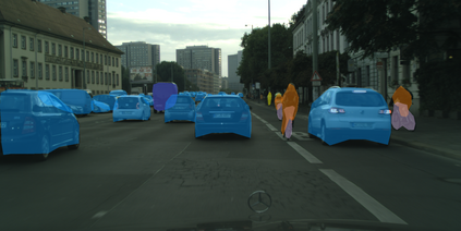
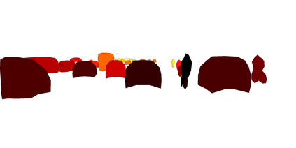
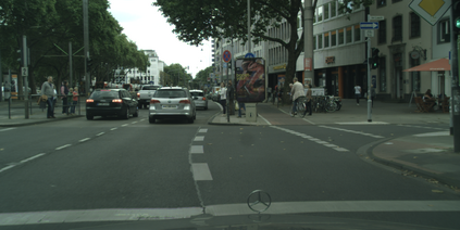
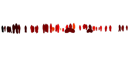
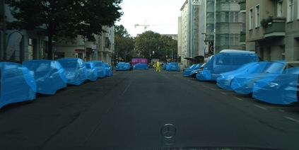
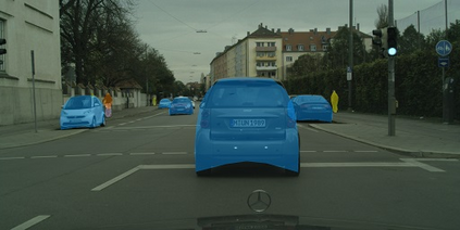
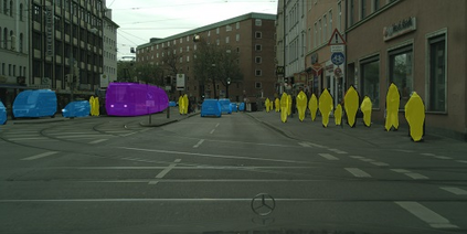
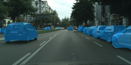
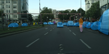
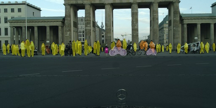
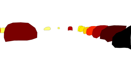
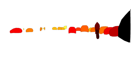
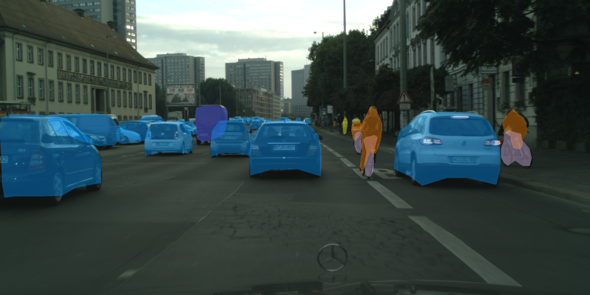
We present a novel method, called CenterPoly, for real-time instance segmentation using bounding polygons. We apply it to detect road users in dense urban environments, making it suitable for applications in intelligent transportation systems like automated vehicles. CenterPoly detects objects by their center keypoint while predicting a fixed number of polygon vertices for each object, thus performing detection and segmentation in parallel. Most of the network parameters are shared by the network heads, making it fast and lightweight enough to run at real-time speed. To properly convert mask ground-truth to polygon ground-truth, we designed a vertex selection strategy to facilitate the learning of the polygons. Additionally, to better segment overlapping objects in dense urban scenes, we also train a relative depth branch to determine which instances are closer and which are further, using available weak annotations. We propose several models with different backbones to show the possible speed / accuracy trade-offs. The models were trained and evaluated on Cityscapes, KITTI and IDD and the results are reported on their public benchmark, which are state-of-the-art at real-time speeds. Code is available at https://github.com/hu64/CenterPoly
翻译:我们提出了一个新颖的方法,称为CenterPolly,用于使用捆绑多边形进行实时实例分割。我们应用它来探测密集城市环境中的道路使用者,使之适合用于智能运输系统,例如自动车辆。CenterPolly通过中央键点探测物体,同时预测每个物体的固定多边顶点数量,从而同时进行探测和分割。大多数网络参数由网络负责人共享,使其快速和轻度足以实时运行。为了适当地将掩码地面图象转换为多边地面图象,我们设计了一个脊椎选择战略,以便利多边线的学习。此外,为了在密集城市环境中更好地进行分块重叠,我们还训练一个相对深度的分支,以便利用现有的微弱说明,确定哪些情况更加接近和进一步。我们提出了几个具有不同主干线的模型,以显示可能的速度/准确交易。这些模型在城市景象、KITTI和IDD上经过训练和评估,其结果在公共基准上被报告,这些基准是状态-art/Pocreportly at at at is real-prial-creal-cretimeal-cal Codeal.

