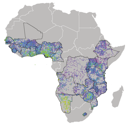
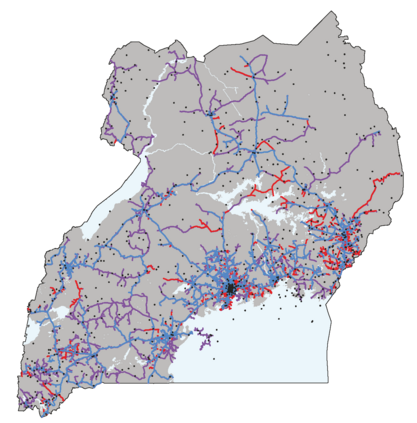
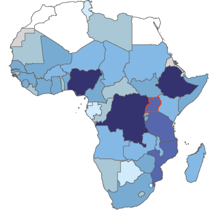
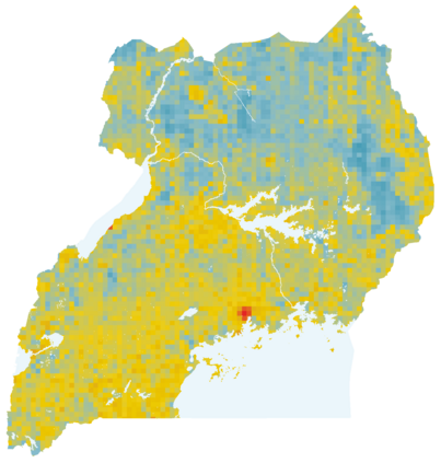
In many regions of the world, sparse data on key economic outcomes inhibits the development, targeting, and evaluation of public policy. We demonstrate how advancements in satellite imagery and machine learning can help ameliorate these data and inference challenges. In the context of an expansion of the electrical grid across Uganda, we show how a combination of satellite imagery and computer vision can be used to develop local-level livelihood measurements appropriate for inferring the causal impact of electricity access on livelihoods. We then show how ML-based inference techniques deliver more reliable estimates of the causal impact of electrification than traditional alternatives when applied to these data. We estimate that grid access improves village-level asset wealth in rural Uganda by 0.17 standard deviations, more than doubling the growth rate over our study period relative to untreated areas. Our results provide country-scale evidence on the impact of a key infrastructure investment, and provide a low-cost, generalizable approach to future policy evaluation in data sparse environments.
翻译:在世界许多区域,关于关键经济结果的数据稀少,阻碍了公共政策的发展、针对性和评估。我们展示了卫星图像和机器学习的进步如何有助于改善这些数据和推论挑战。在乌干达全境扩大电网的背景下,我们展示了如何利用卫星图像和计算机愿景结合开发适合推断电力获取对生计的因果关系的地方一级生计计量。然后我们展示了基于ML的推理技术如何比对这些数据应用的传统替代方法更可靠地估计电气化的因果关系。我们估计,电网接入使乌干达农村的村一级资产财富增加了0.17个标准偏差,超过了我们研究期内相对于未处理地区的增长率的一倍以上。我们的成果为关键基础设施投资的影响提供了国家规模的证据,并为数据稀少环境中的未来政策评估提供了低成本、可概括性的方法。

