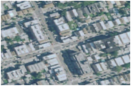
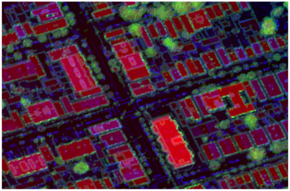
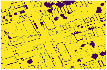
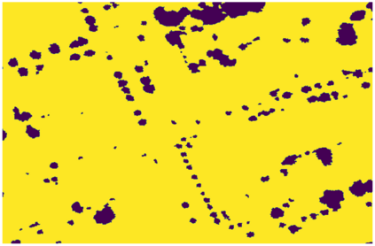
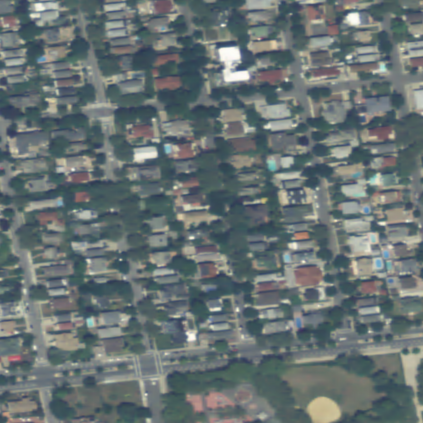
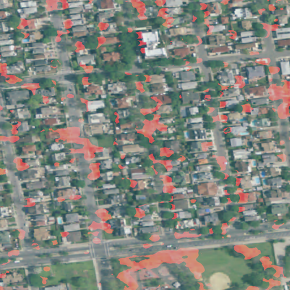
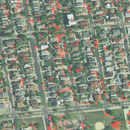
We present and evaluate a weakly-supervised methodology to quantify the spatio-temporal distribution of urban forests based on remotely sensed data with close-to-zero human interaction. Successfully training machine learning models for semantic segmentation typically depends on the availability of high-quality labels. We evaluate the benefit of high-resolution, three-dimensional point cloud data (LiDAR) as source of noisy labels in order to train models for the localization of trees in orthophotos. As proof of concept we sense Hurricane Sandy's impact on urban forests in Coney Island, New York City (NYC) and reference it to less impacted urban space in Brooklyn, NYC.
翻译:我们提出并评价一种薄弱的、监督不力的方法,用以根据近乎零人相互作用的遥感数据量化城市森林的时空分布。成功培训用于语义分解的机器学习模型通常取决于能否找到高质量的标签。我们评估高分辨率、三维点云数据(LiDAR)作为噪音标签来源的好处,以便培训在正光图中植树的地方化模型。作为概念的证明,我们感觉到飓风桑迪对纽约市科尼岛城市森林的影响,并提到纽约市布鲁克林受影响较小的城市空间。